")
")

Tinh Son La Holiday Weather today
Date/time of update: April 28, 2024, 12:14 am, Timezone: GMT+7
Clear Sky
Temperature: 24.06°C
Temperature feels like: 23.46°C
Minimum Temperature: 24.06°C
Maximum Temperature: 24.06°C
Atmospheric pressure: 1007hPa
Humidity:36%
Visibility: 10000m
Wind speed: 0.59m/sec
Wind Direction: 227 degrees
Cloudiness: 0%
Sunrise: 2024-04-27 10:35:10
Sunset: 2024-04-28 11:27:32
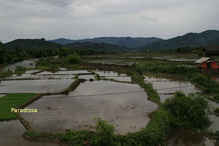
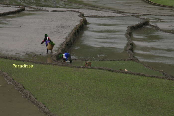
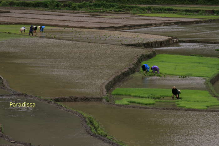
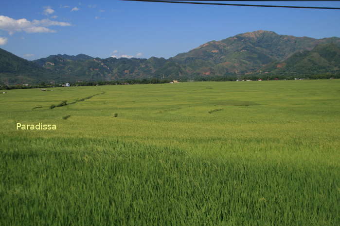
Muong Tac Valley is the fourth largest valley in the Northwest of Vietnam covering 1,600 hectares. The valley is surrounded by sublime mountains and is home to Black Thai, Hmong and Dao communities.
The name Muong Tac is from the name of the Tac River which is a branch of the Da River. Local farmers culture two rice crops per year at Muong Tac: one from February to June and the other from July to November.
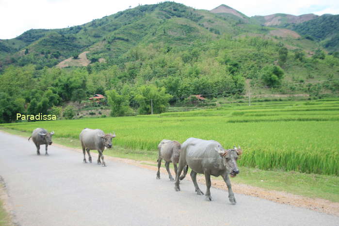
Muong Tac is pristine and untouched by mass tourism. Most travelers only pass through the valley between Hanoi and Ta Xua. But there are Thai families in the valley who offer homestay service as well as opportunities for visitors to experience local culture.
How to get there
The Muong Tac Valley is 150km southeast of Son La provincial capital via Route 37, 180km northwest of Hanoi via Route 32 & Route 32B.


, Dien Bien Phu Battle")


