Mekong Delta Vietnam
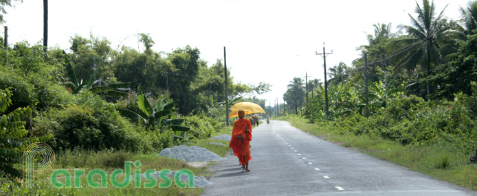
The Mekong Delta Travel section is dedicated to travel holiday guide and tourist information, travel photos for the Mekong Delta in southern Vietnam. In our guide, Paradissa provides you with detailed information for the travel destinations and tourist spots in the Mekong Delta. You can find useful information for your trip here such as weather and climate, the provinces, the floating markets, the travel activities, the biking routes...
-
Bac Lieu
Bac Lieu is 280km southwest of HCMC, 49km southwest of Soc Trang, 212km southwest of Tra Vinh. Bac Lieu Province is bordered to the north-west by Hau Giang and Kien Giang Provinces, to the east and north-east by Soc Trang Province, to the south and south-east by the East Vietnam Sea and to the west and south-west by Ca Mau Province. Bac Lieu Province has 56km of coastline.
Country: VietnamProvince: Bac Lieu -
Ben Tre
Ben Tre is one of the provinces of the Mekong Delta in southern Vietnam, bordered to the north by Tien Giang Province, to the east by the East Vietnam Sea, to the west by Vinh Long Province and to the south by Tra Vinh Province. Ben Tre is 90km from Ho Chi Minh City.
Country: VietnamProvince: Ben Tre -
Ca Mau
The inland area of Vietnam looks similar to an S shape, the bottom area of the country is the Mekong Delta and the southernmost area of the Mekong Delta is Ca Mau. This is where the inland of Vietnam protrudes into the East Vietnam Sea of which the tip is Cape Ca Mau. Cape Ca Mau is where you can observe both sunrise and sunset on the sea.
Country: VietnamProvince: Ca Mau -
Can Tho
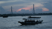
Can Tho is the capital city of the Mekong Delta of Vietnam with an area of 2,965 square km and a population of 1,820 people (2004).
Country: VietnamProvince: Can Tho -
Chau Doc
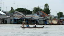
Chau Doc is an idyllic riverine town located close to the Cambodian border and inhabited by the communities of Kinh, Cham, Khmer and Chinese. There are numerous pagodas in Chau Doc which have Chinese and Hindu influence and which are colorfully painted.
Country: VietnamProvince: An GiangDistrict: Chau Doc -
Dong Thap
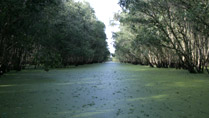
Dong Thap Province is located to the north of the Mekong Delta, in southern Vietnam. The province shares border with Cambodia to the north, with Long An to the east, with Tien Giang and Vinh Long to the south-east, with Can Tho to the south-west, and with An Giang to the west.
Country: VietnamProvince: Dong Thap -
Family Trip to Cai Be, Tien Giang in Southern Vietnam
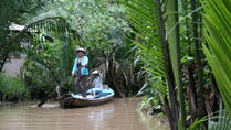
The Mekong River flows into southern Vietnam creating the fertile Mekong Delta with amazing farms and agricultural products. Our family tour to Cai Be of Tien Giang Province includes photos of green orchards with a wide range of seasonal fruits.
-
Hau Giang
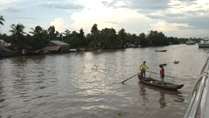
Hau Giang Province is located in the heart of the Mekong Delta, bordered to the north by Can Tho City, to the east by the Hau River (Mekong River tributary) and Vinh Long Province, to the south by Soc Trang Province and Bac Lieu Province and to the west by Kien Giang Province. The capital of Hau Giang Province is Vi Thanh Town, 240km south-west of Ho Chi Minh City.
Country: VietnamProvince: Hau Giang -
Kien Giang

Kien Giang is located to the west of the Mekong Delta overlooking the Rach Gia Gulf. The province is bordered to the north by Cambodia (56.8km borderline), to the east by An Giang and Can Tho, to the south by Hau Giang, Bac Lieu and Ca Mau, and to the west by the Rach Gia Gulf. The provincial capital of Kien Giang is Rach Gia City.
Country: VietnamProvince: Kien Giang -
Long An
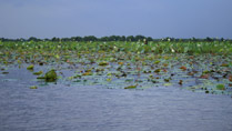
Long An is a province in the Mekong Delta, bordered to the north by Cambodia and Tay Ninh, to the east by Ho Chi Minh City (Saigon), to the south by Tien Giang, and the west by Dong Thap.
Country: VietnamProvince: Long An -
Mekong Delta
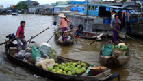 The Mekong River is among the biggest rivers in the World, starting its nearly 5,000km course from the Tibetan Plateau traveling its way through China, Myanmar, Laos, Thailand, Cambodia and Vietnam.Country: Vietnam
Mekong Delta Photos, Mekong Delta Travel Guide
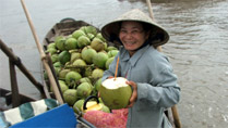
Mekong Delta is the southernmost area of Vietnam, where the Mekong concludes its adventure of 5,000km from Tibetan Plateau discharging its water into the East Vietnam Sea. The Mekong Delta is characterized with endless rice fields, coconut forests, nature reserves and bird parks and exotic lifestyle...
Country: VietnamMy Tho
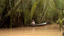
My Tho, the capital city of Tien Giang Province, is the closest destination of the Mekong Delta for the travelers from Ho Chi Minh City.
Country: VietnamProvince: Tien GiangDistrict: My ThoSoc Trang
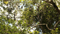
Soc Trang Province of Vietnam is located deep in the Mekong Delta. Soc Trang is bordered to the north and north-east by the Hau River (lower Mekong River) and Tra Vinh Province, to the north by Can Tho Province, to the north-west by Hau Giang Province, to the west and south-west by Bac Lieu Province, and to the south by the East Vietnam Sea.
Country: VietnamProvince: Soc TrangTra Vinh
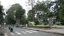
Tra Vinh Province of Vietnam is bordered to the north-east by Ben Tre Province, to the north by Vinh Long Province, to the west and south-west by Soc Trang Province and to the south and south-east by the East Vietnam Sea.
Country: VietnamProvince: Tra VinhVinh Long
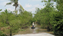
Vinh Long Vietnam is located in the heart of the Mekong Delta. The province is bordered by Tien Giang Province to the North, by Dong Thap Province to the North West, by Ben Tre Province to the East, by Tra Vinh Province to the South East and by Can Tho Province to the South. The capital city is called Vinh Long Town 136 km from Saigon.
Country: VietnamProvince: Vinh Long


