Laos, a landlocked country, shares its borders with Myanmar, China, Vietnam, Cambodia and Thailand. The country is bounded between the latitudes 14 -23 degrees North and the longitudes 100-108 degrees East; the whole country is within the tropic region.
Laos is 236,800 square km, with the major terrain of the country is shaped up by mountains, plateaus and the Mekong Rivers. The country is divided into three geographical areas: the North, the Central, and the South. The terrain of Laos is higher in the north and north-east, and lower in the south-west and south.
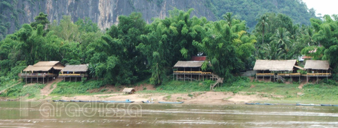
The Mekong River, which starts its course in the Tibetan Plateau, 4350km from the sea and 5,000 m above the sea level, travels its way through China, Myanmar, Thailand, Laos, Cambodia, Vietnam and drains into the sea off the coast of southern Vietnam. Most of the river system in Laos drains into the Mekong River while some rivers in Hua Phan and Xieng Khuang travel through northern Vietnam and flow into the Gulf of Tonkin. The Mekong flows most of its course in Laos along the Lao-Thai border.
The Mekong and other rivers help to create the fertile alluvial plains which facilitate the wet rice cultivation in Laos. The widest section of the Mekong River in Laos in found at Si Phan Don which in the rainy season can measure up to 14km. The Mekong River also helps the easy transportation among different provinces in Laos, between Laos and Thailand and the Mekong provides abundance of fish to the local diet.
Along the western border of the country, the Annamite (Truong Son) Range runs almost parallel to the Mekong River course. Most peaks of the mountains of the Annamite vary between 1500m and 2500m. The highest peak is found at Phu Bia in Xieng Khuang Province which is 2820m above the sea level. While northern part of the Annamite range is characterized by forests, mountains and limestone caves, the middle part offers stunning limestone gorges and the southern end is the Bolaven Plateau with cool climate, productive mountain rice, coffee, and tea cultivation.
Mountains and plateaus account for over 70% of the country, of which only about 4% of the is as arable.. While it's rugged and steep mountains in the north, it's basically flat valleys around Vientiane and Savannakhet and it's plateau around Xieng Khuang and Champasak.
Thanks to the diversity in Laos' terrain, tourism in Laos offer all styles of travel from hardcore adventure tours to easy and relaxing get-away vacations.


