")
")

Lai Chau is a mountainous province, located to the extreme North-West of Vietnam. Lai Chau shares border with China to the north and north-west, with Lao Cai Province to the east, with Yen Bai to the south-east, with Son La to the south, with Dien Bien to the south, south-west and west.
Geography
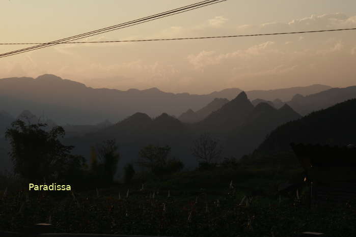
There are many high mountain ranges in the province dividing the terrain into narrow strips of valleys. The mountain peaks in Lai Chau include Pu Ta Leng (3,049m), Pu Si Lung (3,076m, Pa Ve Su, 28km north-west of Muong Te District), Nui Muoi (Bach Moc Luong Tu, 3,045m).

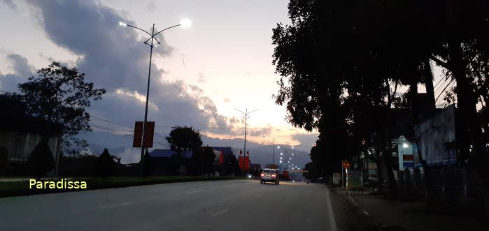
Lai Chau City
Rivers
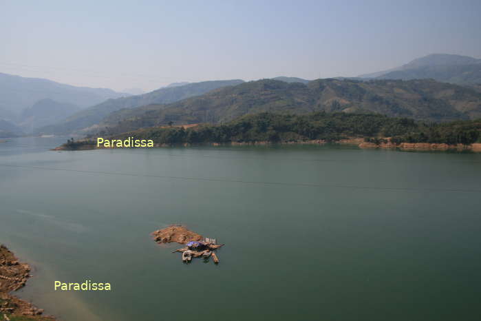
There are several little streams but not many big rivers in Lai Chau. The main rivers are Nam Na, Nam Ma, Nam Mu.
- The Nam Na flows north-south from Phong Tho to Muong Lay.
- The Nam Ma (a branch of the Da River) flows northwest-southeast from the Chinese border through Muong Te, Nam Nhun,.. to Muong Lay.
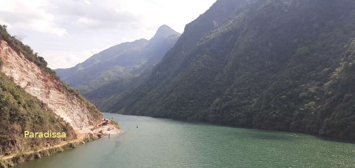
- The Nam Mu flows north-south through Tam Duong, Tan Uyen, Than Uyen…
The Nam Na merges into the Da River at Muong Lay and continues its flow into Son La Province.

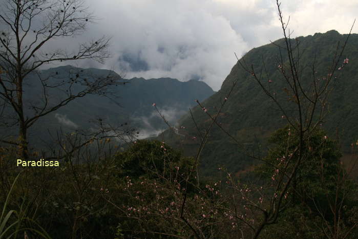
The Nam Na River in Sin Ho District

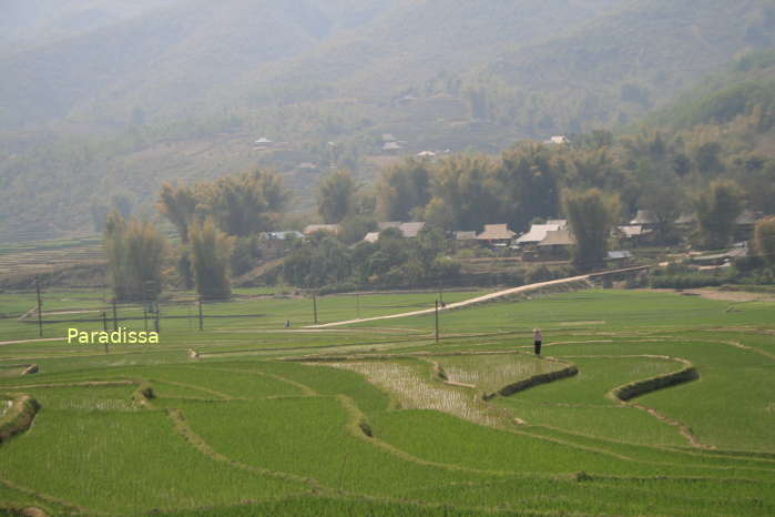
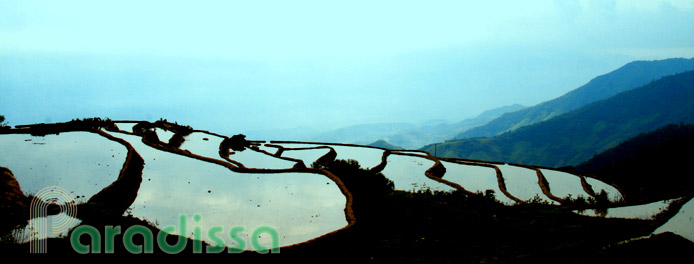
Rice fields at Muong Kim, Than Uyen, Lai Chau
Climate
The geographical location, topographical relief and terrain help to shape up the climate in Lai Chau. Lai Chai has a tropical monsoon climate but due to the location further to the extreme Northwest of Vietnam, and due to high altitude and dissected terrain that the climate in Lai Chau has its own characteristics.
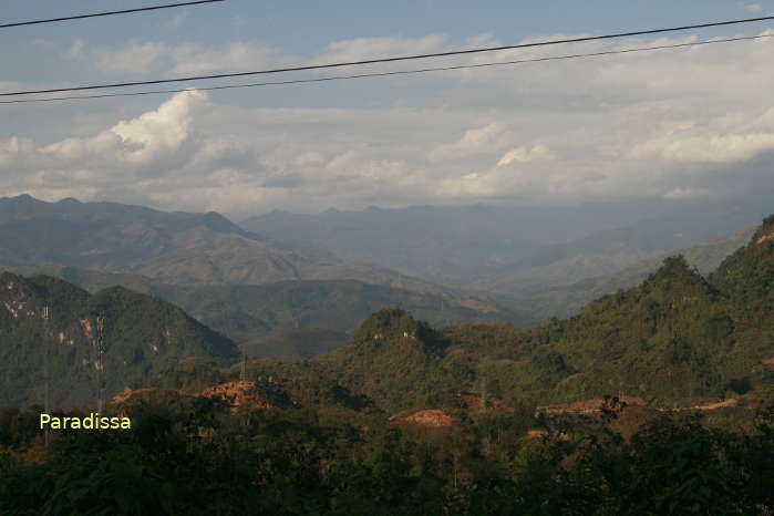
The whole province of Lai Chau is virtually surrounded by high mountains: Hoang Lien Mountain Range to the east, the Truong Son Mountain Range to the South, high mountain range to the west and north along the border between Vietnam – Laos and Vietnam – China.

Gia Khau Village (Hmong People) on the outskirt of Lai Chau City
There are 2 seasons in Lai Chau: the rainy season is from May through September (sometimes October) and the dry season is from October through April. During the rain season, there are two possible winds affecting Lai Chau: the Southeasterly Monsoon which is cool and humid and which is much reduced in humidity after traversing the inland and high mountains in northern Vietnam.
Another wind in the summer is the Southwesterly Monsoon which is dry and warm and which often cause heat strikes in Lai Chau along with the extreme Northwest of Vietnam. The dry and warm wind is weakened by high mountains along the Vietnam – Laos border and the high mountain range along the Ma River. The annual rainfall is 1,600-2,100mm mostly during the months of June, July and August. The average temperatures during the rainy months are 25-30 Degrees Celsius. Except for Sin Ho and on high mountain peaks, the temperatures are quite mild during the winter months (December, January and February).

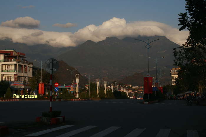
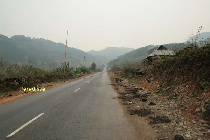
Mountains at Phong Tho District
During the dry season, Lai Chau is influenced by the Northeasterly Monsoon. But the wind is much weakened traversing the Hoang Lien Mountain Range (3,143m). For this reason that the temperatures in Lai Chau tend to be warmer than neighboring provinces. But another factor to consider is that much of the terrain of Lai Chau has the altitude from 6,00m to more than 1,000m above sea level which makes the average temperatures in the whole province low anyway. The lowest temperatures are found in December and January which may reach freezing point.
There are typhoons which affect the North of Vietnam from June through September which normally do not influence much on Lai Chau as the wind is much weakened brushing through high mountains in northern Vietnam before Lai Chau. But recently there are tropical depressions or weakened tropical storms which may cause incessant rains in Lai Chau and the neighboring provinces. There may be devastating damage caused by flash floods and landslides as the result.

Ricefields at Tam Duong Town
People & Population
Lai Chau is home to 20 ethnic groups including the Thai (34%), Hmong (22%), Kinh (14%), Dzao (13%), Ha Nhi (4%), Giay (3%), Khmu (2%), La Hu, Lu, Lao, Cong, Mang, Hoa, Si La, Khang, Tay, Muong, Nung, Phu La,...
Lai Chau Travel Guide, Tourist Attractions, What to see in Lai Chau
1/ High mountain peaks
Lai Chau possesses sublime nature with mountain peaks among the highest ones in Vietnam. You'd need permits from the local authority to climb these mountains though.
Paradissa operates trips to Ky Quan San Mountain (or Bach Moc Luong Tu), Pu Ta Leng Mountain, Ta Lien Son Mountain, Ngu Chi Son Mountain.
2/ Ethnic cultures, ethnic villages
The province is home to a number of diverse ethnic communities that can be visited on your trip through Lai Chau such as Gia Khau Village (Hmong, near the city), Hon Village (Lu People, Tam Duong District, 15km from the city), Na Luong (Lao People, Tam Duong District), Pu Dao (Hmong, Sin Ho District), Vang Pheo (Thai, Phong Tho District, 30km from the city)...
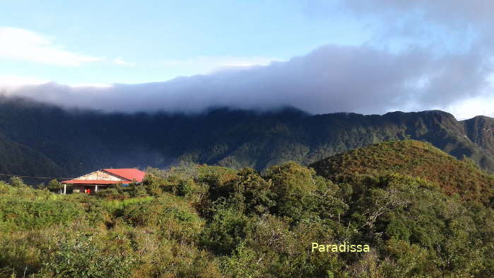
3/ Sin Ho Plateau
Sin Ho Plateau is 1,500m above sea level with cool climate all year round. The township is 60km from Lai Chau City. The weekend market at Sin Ho is interesting and should not be missed.

Tea plantations at Tan Uyen Town, Than Uyen District
4/ O Quy Ho Pass
The O Quy Ho Pass is 50km in length with the highest point on the altitude of 2,000m above sea level. The pass has 2/3 in Lai Chau (Tam Duong District) and 1/3 in Lao Cai (Sapa District). The O Quy Ho Pass offers spectacular views of clouds, mountains, valleys, roads...
Things to do, Adventure Travel and Trekking Tours in Lai Chau
1/ Day Trips
Lai Chau is a great place for adventure tours such as trekking, mountain-biking or motorbike tours. But due to inconvenient transport and poor tourist infrastructure, travellers normally do 1-day or 2-day leisurely trips to Tam Duong or Than Uyen from Sapa (in Lao Cai Province) only.

Scenic landscape at the Muong Than Valley, Than Uyen, Lai Chau
2/ Adventure Tours
Paradissa Travel organize a number of adventure tours by car, by mountain bike, or by motorbike to the North-West of Vietnam which includes Lai Chau. The tourist attractions in Lai Chau are not much visited by most travelers to Vietnam: the natural landscape remains pristine and the local cultures remain intact and authentic. On these tours you expect to get off our vehicles for an easy or moderate walking tour to visit villages and sites of interest. So, these adventure trips are suitable to everyone in good shape then. Accommodations on these tours are at mid range hotels and lodges.
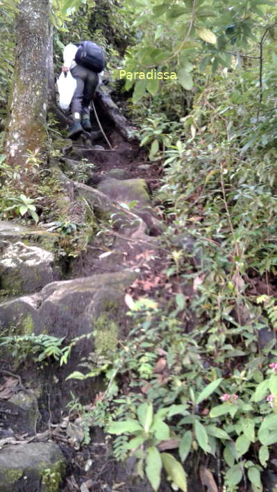
3/ Hiking Trips, Mountain Trekking Tours
Lai Chau is a hidden gem for trekking adventures. Paradissa arrange private trekking holidays, around Phong Tho and Tam Duong upon request.
For those who love mountains, then we have special trekking tours for you to conquer the summits of those highest mountains in Vietnam which are located in Lai Chau: trekking to the Pu Ta Leng Mountain, Ta Lien Son Mountain, Ky Quan San Mountain (Bach Moc Luong Tu), Ngu Chi Son Mountain. All these mountain trekking tours require mental stamina as well as great physical exertion and certainly for the experienced only.


Where to stay, Accommodation in Lai Chau
Lai Chau is getting popular and visited more frequently by foreign travellers and Vietnamese tourists nowadays, but the infrastructure for tourism is still not up to international standards. There are no luxury travel services in Lai Chau just yet. There are decent hotels in Lai Chau City and Phong Tho Town though.
You can also find clean and simple guest houses in other townships such as Tam Duong, Than Uyen, Tan Uyen, Sin Ho, Muong Te. Homestay at a local ethnic family can be a good choice for those who love an authentic and engaging experience, but the service is not stable due to lack of visitors.
Restaurants and bars
Simple restaurants are available in most townships, while good ones are at Lai Chau City only.
Getting there and away
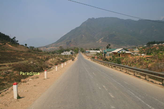
Lai Chau is 450km north-west of Hanoi, 80km from Sapa Town (Lao Cai Province), 200km from Dien Bien Phu City, 210km from Son La City.
Lai Chau Average Monthly Rainfall and Temperatures


, Dien Bien Phu Battle")


