")
")

Dien Bien Phu Holiday Weather today
Date/time of update: July 31, 2026, 11:57 pm, Timezone: GMT+7
Light Rain
Temperature: 22.91°C
Temperature feels like: 23.84°C
Minimum Temperature: 22.91°C
Maximum Temperature: 22.91°C
Atmospheric pressure: 1007hPa
Humidity:99%
Visibility: 10000m
Wind speed: 0.38m/sec
Wind Direction: 153 degrees
Cloudiness: 98%
Sunrise: 2026-07-31 10:41:00
Sunset: 2026-08-01 11:47:26
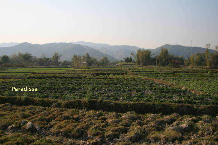
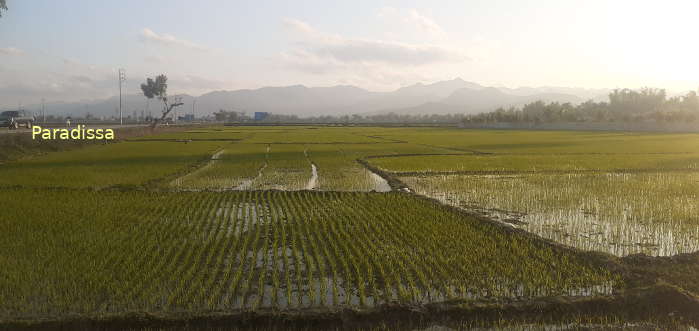
The Muong Thanh Valley is the biggest valley in the Northwest of Vietnam on an averaged elevation of 400m above sea level. The valley runs for 20km from the north to the south. And the width of the valley is about 6-8km.
Travel Guide to the Muong Thanh Valley in Dien Bien Phu
There are the Pu Ta Leng Mountain Range to the east and Pu Ta Co Mountain Range to the west with peaks of 1,200m-1,500m above sea lelvel. The Muong Thanh Valley houses most of Dien Bien Phu City and most of the historical sites of the famed Battle of Dien Bien Phu.

The Muong Thanh Valley gets most of its water from the Nam Rom River which runs from the northeast to the southwest of the valley. Most of the valley surface area is for rice fields and vegetable farms.
Muong Thanh in local Thai language means “Muong Then” or “The Heavenly Land”. It is the homeland to several Thai communities. And there are several Thai villages littered in the Muong Thanh some of which offer homestay service to the visitors to visit the valley, visit the site of the Battle of Dien Bien Phu and to experience the Thai culture.
How to get there
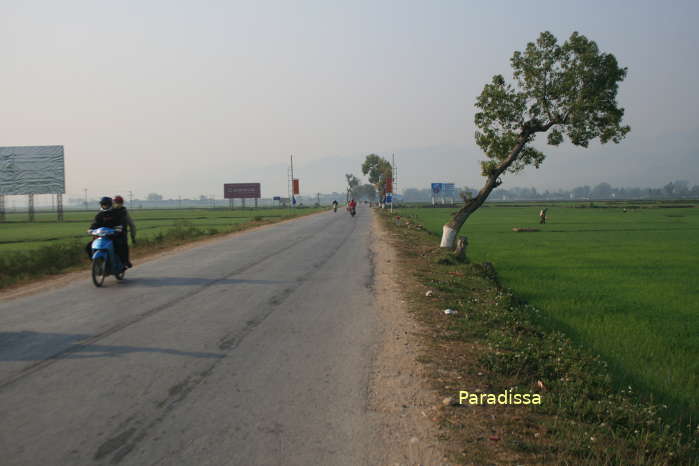
1/ By road
Dien Bien Phu is 500km north-west of Hanoi, 300km southwest of Sapa, 160km west of Son La, 200km south of Lai Chau.
There is a border-crossing at Tay Trang between Dien Bien Phu and Huoi Puoc (Laos).
2/ By air
The flight from Hanoi to Dien Bien Phu takes 45 minutes. There are daily flights between these two cities.
Dien Bien Average Monthly Rainfall and Temperatures


, Dien Bien Phu Battle")


